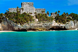
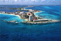
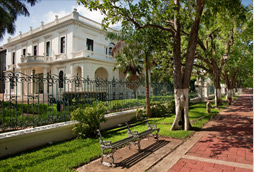
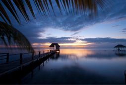
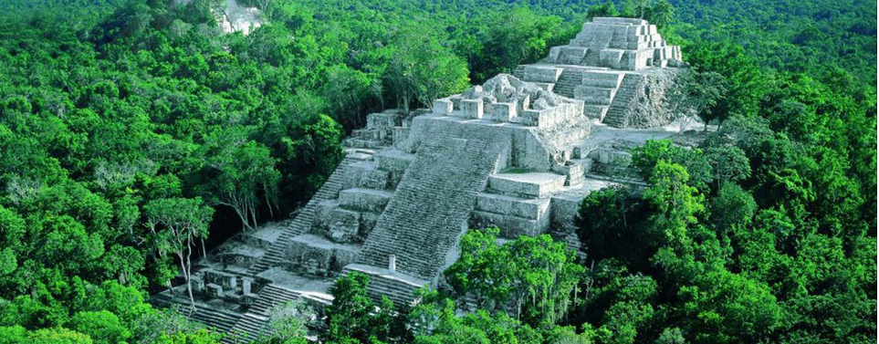
La antigua ciudad de Calakmul
This is an example of a HTML caption with a link.

Artículos mas leídos

    La antigua ciudad de Calakmul

    Ciudad Maya: Patrimonio de la Humanidad

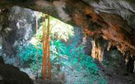
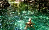
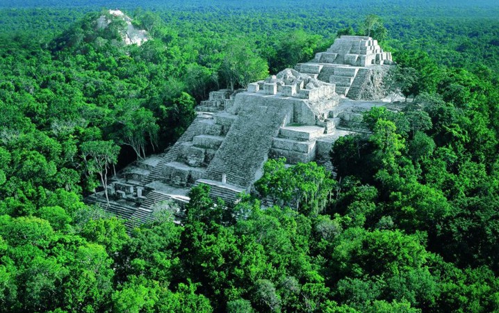
    Calakmul -en maya dos montículos adyacentes- impresiona, no deja indiferente a nadie? Naturaleza y arqueología se muestran unidas ante tus ojos en su máxima expresión de grandeza. Todos los datos abruman: declarada Reserva de la Biosfera, forma al unirse con las reservas adyacentes el segundo pulmón natural más grande del continente y la mayor reserva ecológica tropical de México con una extensión de más de un millón de hectáreas. Alberga alrededor de 86 especies de mamíferos (jaguar, puma, ocelote, tigrillo y leoncillo, oso hormiguero, mono araña, mono aullador, tapir?). También es el hogar de unas 282 especies de aves, 50 especies de reptiles, 400 de mariposas y 73 tipos de orquídeas salvajes.

    Mas información

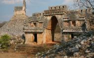
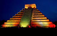
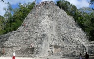
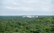
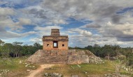
    Insertada dentro de la propia selva se levantan, entre las copas de los árboles, los vestigios de la Antigua Ciudad Maya de Calakmul declarada Patrimonio de la Humanidad por la UNESCO, que fuera capital de uno de los reinos más grandes e influyentes de Mesoamérica, que hoy se hace evidente en su extensión y la magnificencia de sus construcciones.
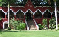
    Al ser esta región una de las más densamente pobladas en la época maya, el legado arquitectónico de esta civilización puede admirarse por doquier en sitios como Becán, ciudad rodeada por un foso único de defensa, Chicanná, Río Bec, Hormiguero, Balamkú y Xpujil.
    A este último se puede llegar caminando desde la cabecera municipal homónima. En Xpuhil es posible contratar guías acreditados, puedes informarte de actividades de turismo de aventura, campismo, excursionismo, reconocimiento de flora y fauna, fotografía, investigación etnográfica? y puedes hospedarte en plena selva. Aquí todavía algunas mujeres mayas bordan huipiles (vestidos tradicionales campechanos) y graban en madera. Y para reponer fuerzas platillos principalmente elaborados con carne de animales domésticos y silvestres, preparados en pipián, salpicón y barbacoa. Sin duda la experiencia en esta región merece por lo menos programar dos días para disfrutarla al máximo.

    Ubicación y Actividades

    Campeche,Campeche.
    Sitio Arqueológico

    Horarios

    Lunes a domingo de 8 a 17 horas

    Recomendaciones e Información

    Es recomendable llevar ropa ligera y zapatos cómodos que te permita caminar y acceder fácilmente a las distintas áreas del sitio arqueológico ya que el recorrido es a pie, aun que también se puede realizar por medio de bicicletas. Está permitido subirse a las pirámides. También es importante o recomendable llevar repelente de insectos, ya que en el sitio hay una gran cantidad de mosquitos, pues Cobá se encuentra enclavada entre exuberante vegetacióny por ende hay muchos y molestosos insectos, Se recomienda también no introducir alimentos ni bebidas. También se aconseja no tomar fotografías con flash. Antes de llegar infórmate sobre las condiciones del clima y elija el mejor momento. Recuerda que es importante respetar y mantener limpio el espacio que estás visitando.

    Servicios

    Teléfono satelital, señalización restrictiva e informativa y señalética explicativa. En esta zona arqueológica se disponen de los siguientes servicios: estacionamiento, unidad de servicios, venta de publicaciones, sanitarios y custodio.

    Sitio Web

    http://www.inah.gob.mx/index.php?option=com_content&view=article&id=5448
    Email

    comments powered by Disqus
    La antigua ciudad de Calakmul
    '+'

    '+'

    '+'
    '+''; infowindow = new google.maps.InfoWindow({content: contentString}); $(".btnlocation").click(function(){ showMyPosition(); }); $("#pinsdebusquedaclose").click( function(event){ event.preventDefault(); $("#pinsdebusquedaclose").hide(); $("#pinsdeseccion").show(); $("#pinsdebusqueda").hide(); searchingpins=false; showhide(); } ); $("#frmMaps").submit(function(){ if(searchingpins==false){ var tags = $("#frmMaps .txtbuscar").val(); if(tags==''){ // escriba el termino de busqueda }else{ if(ultimabusqueda != tags){ $("#pinsdebusquedaresults").html(""); $("#pinsdebusquedaclose").show(); $("#pinsdeseccion").hide(); $("#pinsdebusqueda").show(); $("#pinsdebusquedawait").show(); $.post("buscarmarcadores.php",{tags:tags},function(data){ $("#pinsdebusquedawait").hide(); $("#pinsdebusquedaresults").html(data); searchingpins=false; showhide(); }); searchingpins=true; }else{ $("#pinsdebusquedaclose").show(); $("#pinsdeseccion").hide(); $("#pinsdebusqueda").show(); } ultimabusqueda = tags; } } return false; }); showhide(); } /** * Data for the markers consisting of a name, a LatLng and a zIndex for * the order in which these markers should display on top of each * other. */ function showhide(){ for(i in allmarkers) { allmarkers[i].setMap(null); } allmarkers = null; allmarkers = Array(); // show checked Markers if( $('#pinsdebusqueda').is(":visible") ){ selector = 'pinsdebusqueda'; }else{ selector = 'pinsdeseccion'; } var current=''; var enabled=''; var markercollection = Array(); var pin = Array(); $('#'+selector+' .markeritem').each(function(i,item){ current = $(this); enabled = current.is(':checked'); if( enabled ){ pin = []; pin.push( current.attr('data-title') ); pin.push( current.attr('data-lat') ); pin.push( current.attr('data-lng') ); pin.push( current.attr('data-icon') ); pin.push( current.attr('data-anim') ); markercollection.push( pin ); } }); setMarkers(map, markercollection, 'images/icons/marker.png'); } function setMarkers(map, locations, markerimage) { // Add markers to the map // Marker sizes are expressed as a Size of X,Y // where the origin of the image (0,0) is located // in the top left of the image. // Origins, anchor positions and coordinates of the marker // increase in the X direction to the right and in // the Y direction down. var imagesize = new google.maps.Size(45, 64); var imageorigin = new google.maps.Point(0,0); var imageanchor = new google.maps.Point(22, 64); var image = { url: markerimage, // This marker is 20 pixels wide by 32 pixels tall. size: imagesize, // The origin for this image is 0,0 origin: imageorigin, // The anchor for this image is the base of the flagpole at 0,32. anchor: imageanchor }; var shadow = { url: markerimage, // The shadow image is larger in the horizontal dimension // while the position and offset are the same as for the main image. size: new google.maps.Size(45, 64), origin: new google.maps.Point(0,0), anchor: new google.maps.Point(0, 64) }; // Shapes define the clickable region of the icon. // The type defines an HTML <area> element 'poly' which // traces out a polygon as a series of X,Y points. The final // coordinate closes the poly by connecting to the first // coordinate. var shape = { coord: [1, 1, 1, 50, 40, 50, 40 , 1], type: 'poly' }; var lastimgsrc=''; for (var i = 0; i '+'
    '+'
    '+'

    '+'

    '+myloc[0]+'

    '+'
    '+''; google.maps.event.addListener(marker, 'click', function() { infowindow.setContent(this.html); infowindow.open(map, this); }); allmarkers.push(marker); } } function showMyPosition(){ // Try HTML5 geolocation if(navigator.geolocation) { navigator.geolocation.getCurrentPosition(function(position) { var pos = new google.maps.LatLng(position.coords.latitude, position.coords.longitude); var infowindow = new google.maps.InfoWindow({map: map,position: pos,content: 'Tu posición actual'}); map.setCenter(pos); }, function() { handleNoGeolocation(true); }); } else { // Browser doesn't support Geolocation handleNoGeolocation(false); } } function handleNoGeolocation(errorFlag) { if (errorFlag) { var content = 'Error: Servicio de Geolocalizacion no disponible.'; } else { var content = 'Error: Tu navegador no es compatible con geolocalizacion.'; } var options = {map: map,position:new google.maps.LatLng(60, 105),content:content}; var infowindow = new google.maps.InfoWindow(options); map.setCenter(options.position); } // The function to trigger the marker click, 'id' is the reference index to the 'markers' array. var lastmarker=null; function showInfo(lat,lng){ pos=-1; if(lastmarker!=null){ allmarkers[lastmarker].setAnimation(null); } $('#'+selector+' .markeritem').each(function(i,item){ current = $(this); if( current.is(':checked') ){ pos++; } if( lat == current.attr('data-lat') && lng == current.attr('data-lng')){ lastmarker=pos; google.maps.event.trigger(allmarkers[pos], 'click'); allmarkers[pos].setAnimation(google.maps.Animation.BOUNCE); return false; } }); } google.maps.event.addDomListener(window, 'load', initialize);

    Mapa

    ¿Donde estoy?
    [+]
    [+]
    [+]
    [+]
    Ver mapa en pantalla completa Ver mapa en pantalla completa

    Mas sugerencias